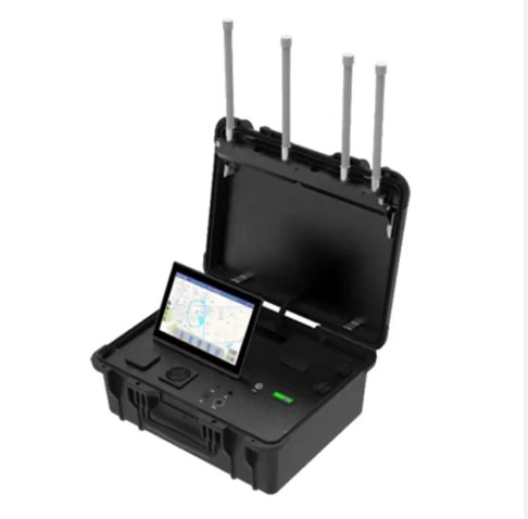
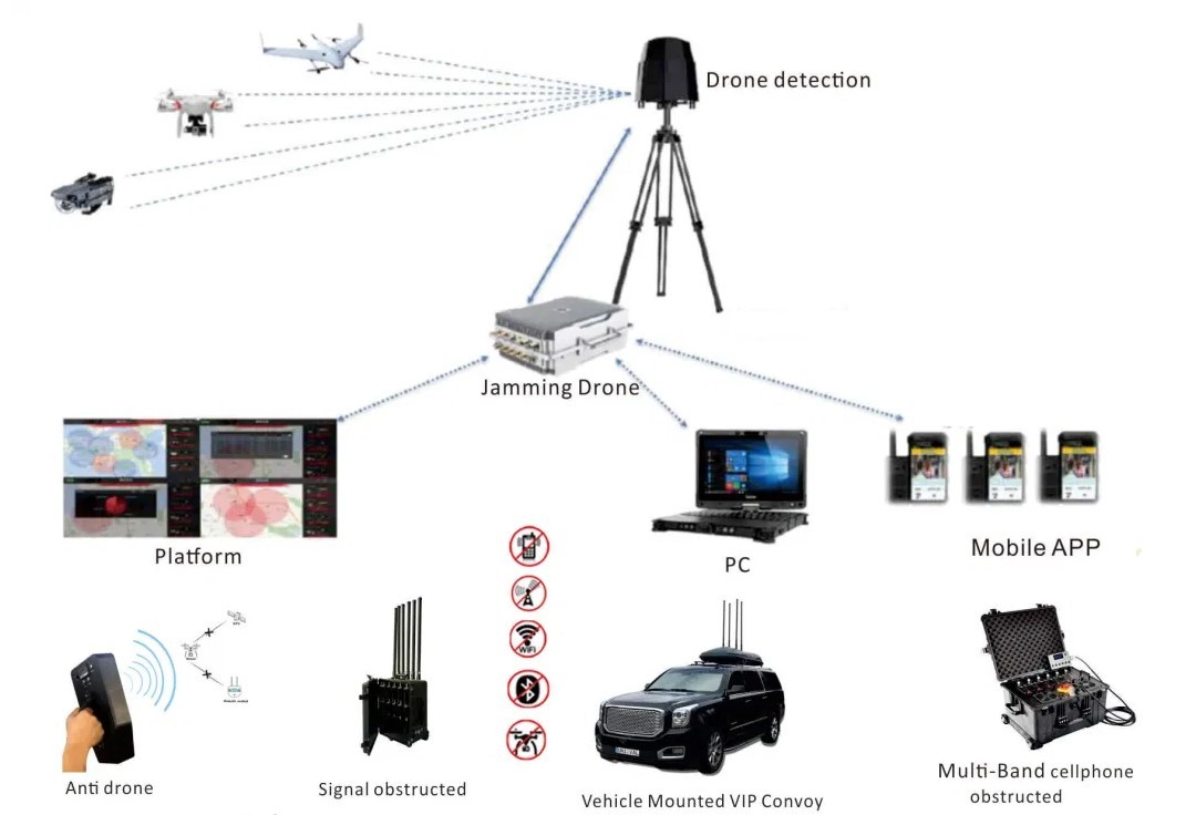
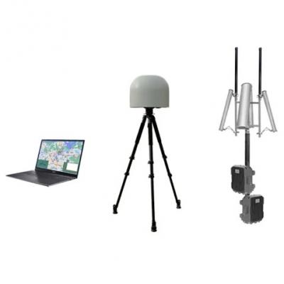
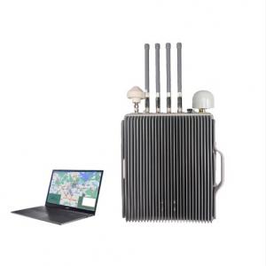
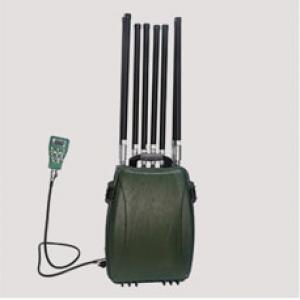
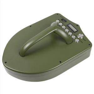
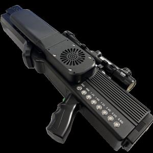
portable UAV detection and positioning equipment
Product Functions
1. Drone detection and identification: detects and identifies various name brand drones such as DJI and AUTEL, as well as WiFi drones, FPVs, some DIY drones;
2. Trajectory tracking and display: The real-time flight trajectory of the tracked drones can be displayed on the GIS map;
3. Pilot position display: The position of the pilot (remote controller) can be tracked and displayed, and the location information can be updated in real time;
4. Drone detailed information monitoring: The detailed information of drones and pilots can be displayed in real time, including: drone ID, frequency, latitude and longitude, model, altitude, height, pilot latitude and longitude, distance between the device and the pilot (or the distance between the drone and the reference point) and other information;
5. Sole identity: For each drone,It can identify its unique S/N number;
6. Black and white list: Distinguish between "friend" and "foe",It will not alarm when a "friend" drone is detected, a "friend" or "foe" can be tagged (only support DJI series drones);
7. Intrusion alarm: When the device detects a drone intrusion, an audible and/or visual alarm is performed;
8. Map operation: Support online map and local map;
9. Map types: Support a variety of digital maps, including AutoNavi, Bing, Baidu, Google, etc.;
10. Historic data playback: Record and playback of historic drone trajectories, model, pilot location and home point and other information;
11. Data record query: User can query the historic data of the drones detected according to the time period;
12. Data statistics: Historical drone detection data statistics and graphical analysis;
13. Drone swarm tracking: Multiple drones can be tracked at the same time and different drone trajectories are displayed with different colors;
14. Multi-device networking: Multiple devices can access the back-end management platform at the same time for unified device management and data management, and can merge the detection results of multiple devices (including drones, pilots, and trajectories).
Note: Function 1,2,3,4,5,6 only apply to DJI Mavic, Air, Mini, FPV, Avata series.
| Operating mode | Radio spectrum detection |
| Drone Detect model | DJI,AUTEL,FIMI,DAHUA,PowerVision,YUNEEC,UDIRC and other common brands of drones and some DIY FPVs and WiFi drones |
| Drone model can location | DJI Mavic,Air,Mini,FPV,Avata series |
| Operating frequency | 900M,1.2G,2.4G,5.2G,5.8GHz |
| Detection distance | radius 1~10km(Varies due to environment and drone model) |
| Altitude | 0m~1000m |
| Drone swarm detection | ≥5 drones |
| Detection result refresh time | 4~6s Varies due to environment and drone model |
| Azimuth error | ≤1.5°(RMS) |
| Location error | ≤10m |
| Waterproof | IP65 (Case closed) |
| Screen size | 10.1 inches |
| Brightness | 500cd/m² |
| Resolution | 1920*1200 (1080P) |
| Battery working time | ≥4h( Dual batteries) |
| Power consumption | ≤100W |
| External supply voltage | 100 ~ 220V AC |
| Operating temperature | -20-65°C; |
| Storage temperature | -20-70°C; |
| Device weight | ≤18kg |
| Dimension | 520mm*415mm*224mm (Case closed) |

